
 Countries
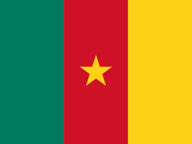
Key facts
- Capital
- Yaoundé
- Region
- Africa, Middle Africa
- Population
- 29,879,337 (2025)
- Area
- 475,440 km²
- Currency
- Central African CFA franc (XAF)
- Languages
- English, French
- Calling code
- +237
- Internet domain
- .cm
- ISO codes
- CM, CMR, 120
- Time zone
- UTC+1:00
- United Nations
- Member state
Land and position
Cameroon covers about 475,440 square kilometres. By area it ranks 55th among the 250 countries and territories on this site. It is a little smaller than Turkmenistan and a little larger than Papua New Guinea. It shares a land border with 6 neighbours: Central African Republic, Congo, Gabon, Equatorial Guinea, Nigeria, Chad. Its centre lies at about 6° north, 12° east, in the northern hemisphere.
Neighbours
 Central African RepublicBangui
 CongoBrazzaville
 GabonLibreville
 Equatorial GuineaCiudad de la Paz
 NigeriaAbuja
 ChadN'Djamena
People
About 29.9 million people live in Cameroon (World Bank, 2025). That makes it the 51st most populous of the 246 places on this site with a figure, with about 0.36 percent of the world's people. On average there are 63 people to each square kilometre. About 56 percent of people live in towns and cities (World Bank, 2025). A baby born there can expect to live about 64 years (World Bank, 2024). Languages listed for it: English, French. A person from Cameroon is called Cameroonian.
Money and economy
The currency is the Central African CFA franc (code XAF, symbol Fr). It is also the main currency of Central African Republic, Chad, Congo, Equatorial Guinea, Gabon. The World Bank puts the size of its economy (GDP) at about US$ 58.9 billion (2025), which is about US$ 1,972 for each person (2025).
Time
Cameroon uses one time zone, UTC+1:00 (Africa/Douala). Clocks stay the same all year: there is no daylight saving time.
Time now: loading
Offsets are for January 2026. See Time Zones for a converter.
Largest cities
| City | People |
|---|---|
| Douala | 1,338,082 |
| Yaoundé | 1,299,369 |
| Bamenda | 420,445 |
| Bafoussam | 373,268 |
| Maroua | 314,122 |
| Ngaoundéré | 238,196 |
City figures are from GeoNames and count the city itself, not the wider urban area. They can be some years old, so use them to see the order of size.
More in Middle Africa
Angola, DR Congo, South Sudan, São Tomé and Príncipe. See the whole region.
Figures were collected on 11 November 2026 from the World Bank, GeoNames and the open countries data set. See About and data sources. Borders and names follow those sources and do not express any view on disputed territory.